

Social Life has developed Big Neighbourhood Data, a prototype platform that maps data that tells us how people feel about where they live.
Our aim is to complement the data commonly used by local authorities - information about deprivation, crime, public health - with data that tells us how people experience everyday life in local communities.
The UK government and research councils generate rich data about how people feel about their neighbourhoods; their relationships with neighbours, whether they are isolated and lonely or feel well supported, how they feel about local crime and their overall quality of life. Compared to other EU countries our lives are well researched and quantified but much of this data remains inaccessible to local authorities and public agencies who are managing communities and delivering local services. Subjective data about peoples' perceptions of places can tell us whether communities are thriving, as well as how residents experience problems like debt and mental ill health.
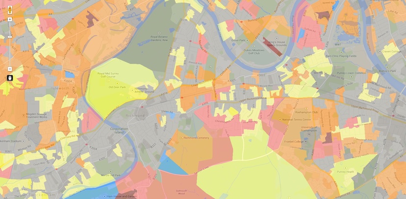
Big Neighbourhood Data is a pilot project to map this data to Census Output Areas, small geographic areas, using the Office for National Statistics' Output Area Classifications (OACs) method, and to work with local authorities to understand how this type of data can support decision-making.
This work was initially funded through an innovation voucher from the Technology Strategy Board. To see how we have used data to understand community dynamics, see our work using the WARM measurement framework in Poplar and Brixton; and our measurement framework developed for The Berkeley Group on social sustainability.