

Social Life has developed a way of predicting how people feel about the places they live, by mapping data from national surveys to small local areas. We use this approach as our starting point for understanding neighbourhoods.
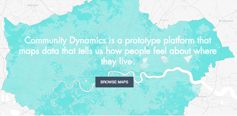
We have put our data online and developed a prototype platform.
Our aim is to map data that tells us about how people are likely to feel about their everyday lives in local neighbourhoods. This adds an understanding of lived experience to the data more commonly used by local agencies, about deprivation, crime, public health and other social needs.
This prototype website focuses on London boroughs, and their wards. This is the first stage in a project to present the data across the UK. We hope to develop the scale of this work over the next year.
Our maps use data from the Understanding Society Survey mapped to Output Areas, small geographic areas, using the Office for National Statistics' Output Area Classifications (OACs). The Social Life report Understanding Local Areas describes this approach in more detail.